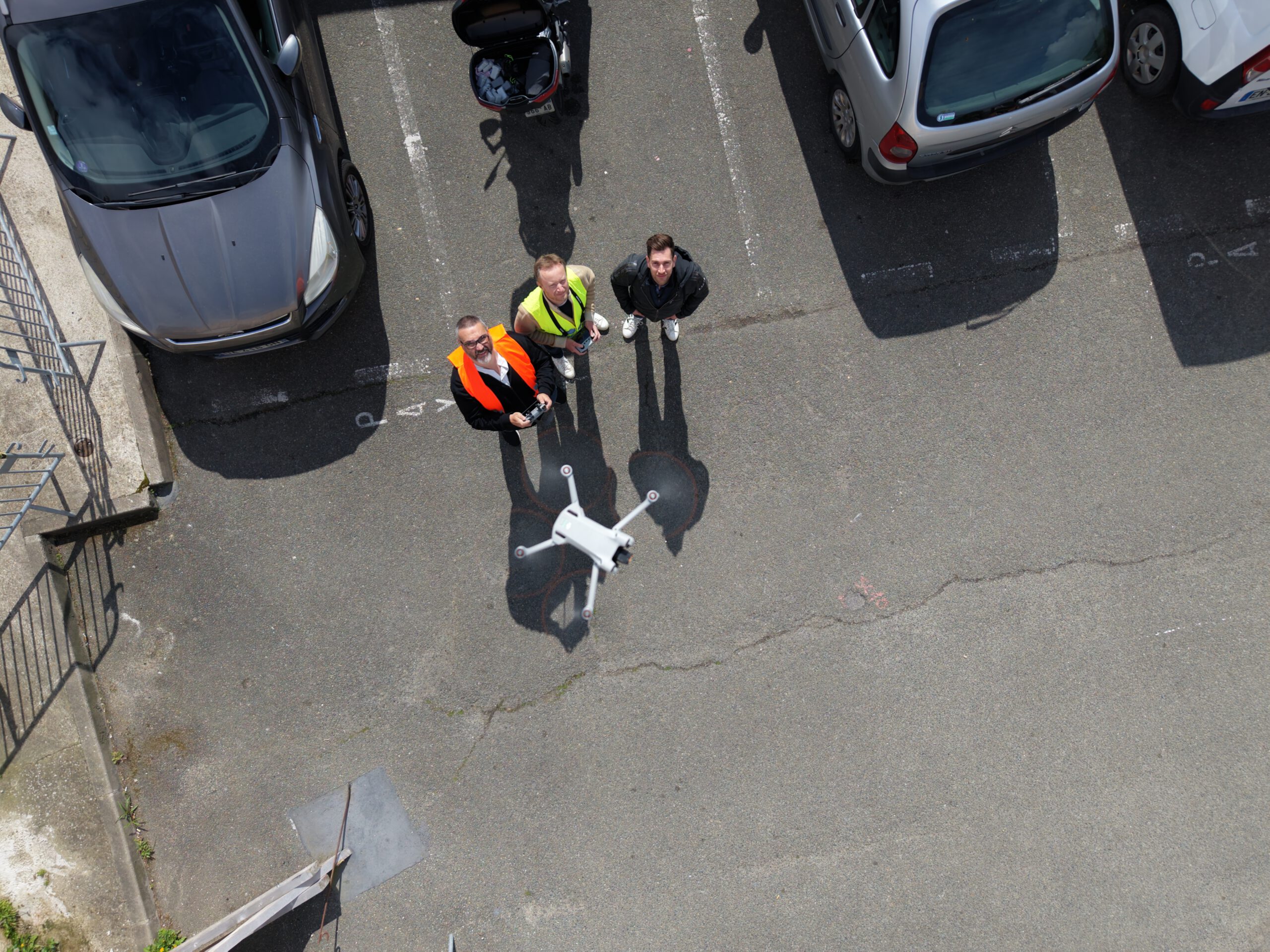
As part of metaCCAZE, our partner MobiLysis recently carried out a new drone-based data collection campaign in Poissy, Yvelines (Paris Region), supporting the local Use Case focused on smart and sustainable urban mobility.
The experiment took place at selected strategic intersections in Poissy and Triel-sur-Seine, where drones were deployed to capture high-resolution aerial traffic data during peak traffic periods. The campaign aimed to better understand multimodal traffic interactions, congestion patterns, and mobility dynamics in preparation for the next phases of the project. The collected footage will help improve the robustness of traffic analysis under complex urban conditions, including dense traffic, pedestrian interactions, and challenging tracking scenarios.
The drone operations were conducted in close collaboration with local drone pilots and project partners, ensuring full compliance with French drone regulations and operational safety requirements. The campaign also helped validate the methodology and operational workflow that will later support larger-scale experiments planned for the upcoming phases of the Yvelines Use Case.
The resulting trajectory datasets will contribute to the broader objectives of metaCCAZE by enabling evidence-based mobility analysis and supporting innovative traffic management approaches for more sustainable and efficient cities.
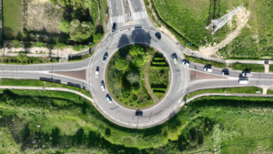
More about our Follower City Poissy, Yvelines (Paris Region)
Poissy, Yvelines, part of the Paris region, is building on its existing mobility hub network—shared with Carrières-sous-Poissy and Triel-sur-Seine—the city is exploring automation, smart infrastructure, and vehicle-to-infrastructure connectivity. Through co-creation and local adaptation of solutions from the Trailblazer Cities, Poissy contributes to the project’s goal of scaling sustainable, shared, and zero-emission mobility across Europe. Learn more here.